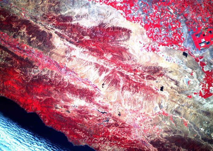
Astro Digital Landmapper-BC images a wide swath of 220 kilometers with multispectral data of Red, Green and NIR spectral bands to study the changes in vegetation.
This shot was taken on August 17th in California. It images the area from Stratford to the east to San Simeon to the west. We processed a composite image with NIR-RED-GREEN bands and generated an NDVI image to highlight active farm fields.


 Copyright 2023 All rights reserved.