
Landmapper-BC
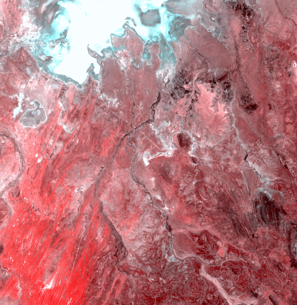
Last week while processing Landmapper-BC4 with our processing mechanisms and were looking in the South Australia expecting to see sand and rock when suddenly we saw a man. Can you see him too?
How is this possible with medium resolution imagery intended for commodity crops monitoring? It turned out that this man is a famous Australian geoglyph — Marree Man created in 1998, which is 2.7km in length. We were very excited to see it with our nanosatellite.
The shot was taken with our Landmapper-BC4 satellite on March 1st, 2019 and was processed from a multispectral NIR-Red-Green composite.


